 Colouring Nest
Blank US Map Outline (No State Borders)
- Ages 7+
- Medium
- 1 page
- Worksheet
- PDF: Letter & A4
- Updated


Tip: download the PDF for Letter or A4 paper, print it at 100% and use a pencil or crayon.
Up nextUS Map Coloring Page →Advertisement
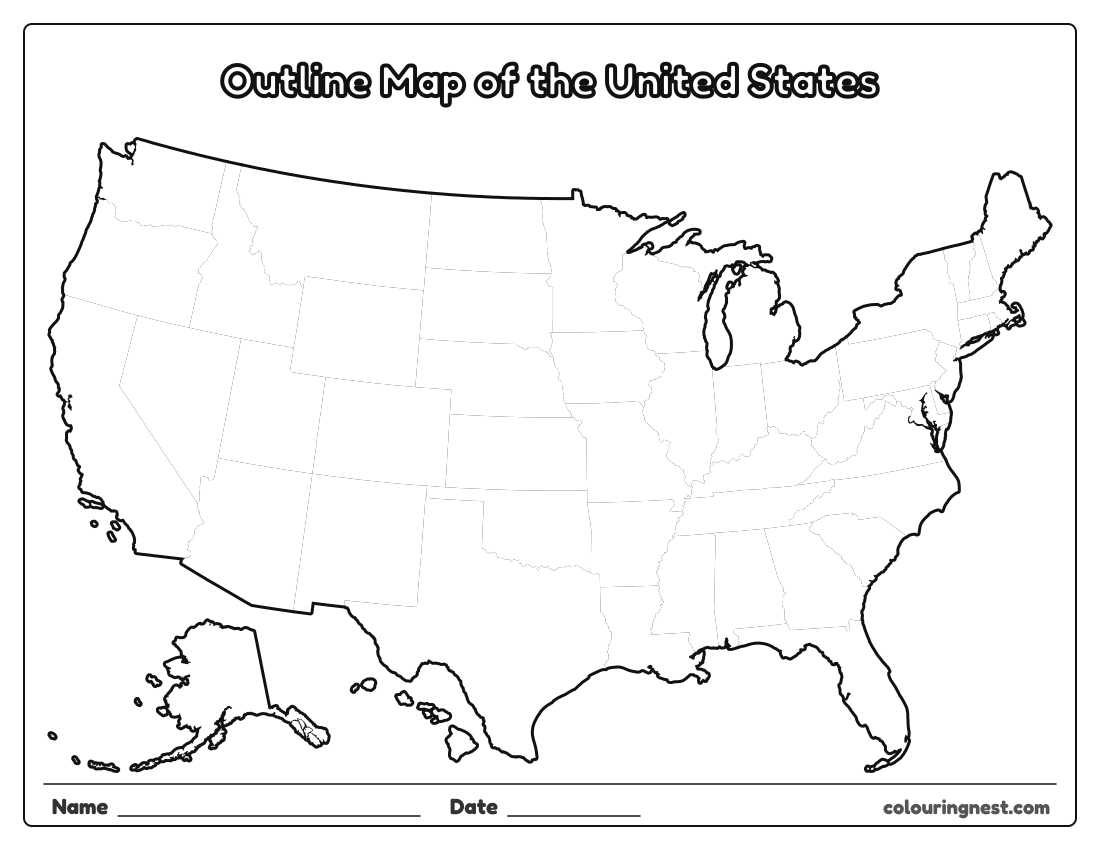
Only the outside edge of the United States: the coastlines, the borders with Canada and Mexico, the Great Lakes shore and the outlines of Alaska and Hawaii, with no state lines inside. Use it to draw the states from memory, to mark rivers, mountain ranges and cities, or as a base for a weather map, a timeline of where people moved, or a poster. There is plenty of white space for labels on landscape paper.
Also try: Northeast States Map · Midwest States Map · Southern States Map
Ideas for the outline map
- Draw in the Mississippi, Missouri and Colorado rivers, then the Rocky and Appalachian mountains.
- Try drawing the state borders yourself, then check them against the blank map with state lines.
- Make a weather map: draw the fronts and write the temperatures.
The outline is the same shape as every other map in this set, so tracing paper lines up between them. See all blank US maps.
For teachers and parents
- What it practises
- US geography: the 50 states, state names, abbreviations and capitals, reading a map
- How to use it
- Study with a labeled map first, then test with the blank map or a quiz. Learn one region at a time. Answer keys are in the PDFs.
- Time
- About 10–20 minutes
Advertisement
More blank us maps


Collections: Free Homeschool Printables
You might also like


Printing tips
- Print at 100% so small states like Rhode Island stay clear.
- Learn one region at a time with the regional maps.
- Check quiz answers with the answer key page.
Advertisement