 Colouring Nest
US Map Coloring Page
- Ages 6–12
- Easy
- 1 page
- Coloring page
- PDF: Letter & A4
- Updated


Tip: tap a colour, then tap any shape to fill it (or use the arrow keys and Enter). Your colouring is saved on this device automatically. To colour on paper, download the Letter or A4 PDF and print it at 100%.
Up nextUS Map with State Names →Advertisement
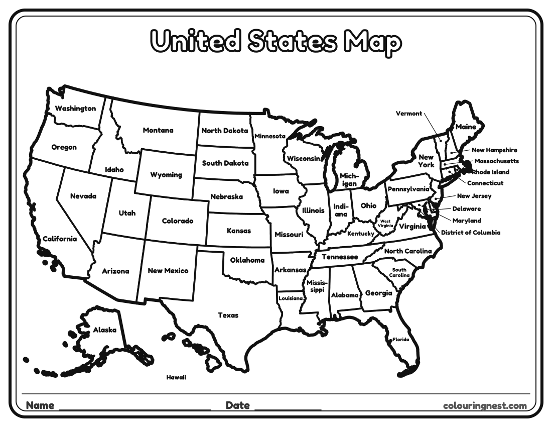
A map of the United States made for coloring: thick outlines, every state named, and a rounded border and title in bubble letters to color in too. Children can color each state a different color, color the states they have visited, or color by region. The small states on the north-east coast are named outside the map with a line to each one. Tap a state to fill it online, or print the PDF and use crayons.
Also try: US Map with State Abbreviations · Blank US Map Outline (No State Borders) · Northeast States Map
Coloring ideas
- Use four colors so that no two states that touch are the same color. It can always be done, which mathematicians proved in 1976.
- Color by region: one color each for the Northeast, Midwest, South and West, as on the US regions map.
- Color your own state first, then its neighbours.
For a version without names, print the blank US map. See all blank US maps.
For teachers and parents
- What it practises
- US geography: the 50 states, state names, abbreviations and capitals, reading a map
- How to use it
- Study with a labeled map first, then test with the blank map or a quiz. Learn one region at a time. Answer keys are in the PDFs.
- Time
- About 10–20 minutes
Advertisement
More blank us maps


Collections: Free Homeschool Printables
You might also like


Printing tips
- Print at 100% so small states like Rhode Island stay clear.
- Learn one region at a time with the regional maps.
- Check quiz answers with the answer key page.
Advertisement